


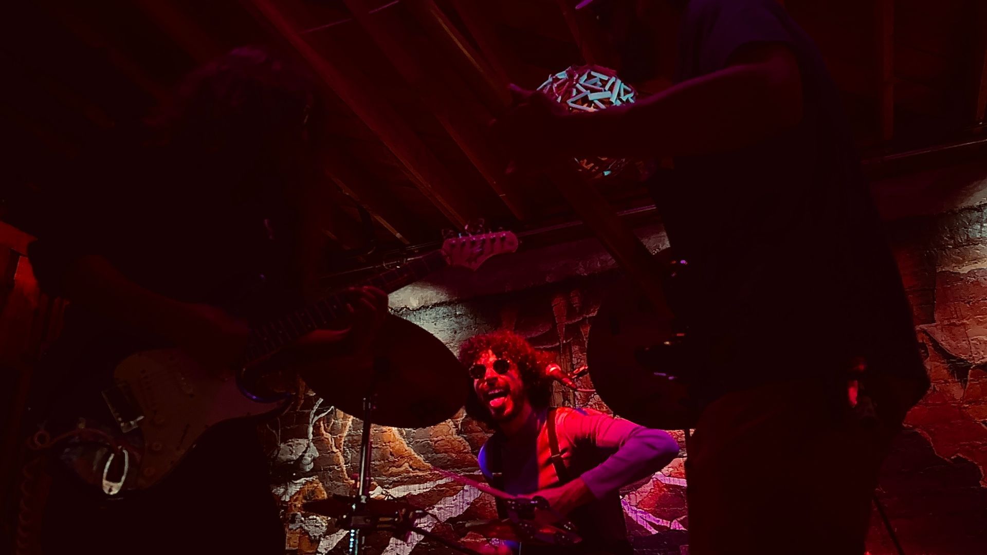
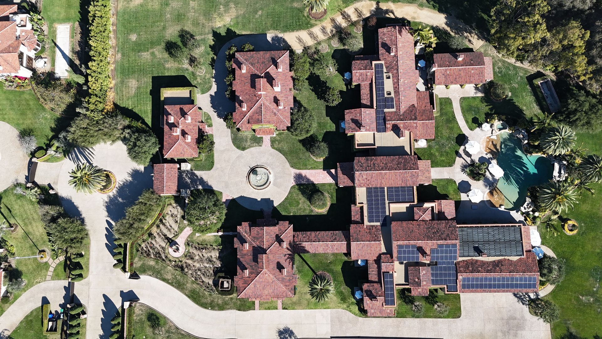
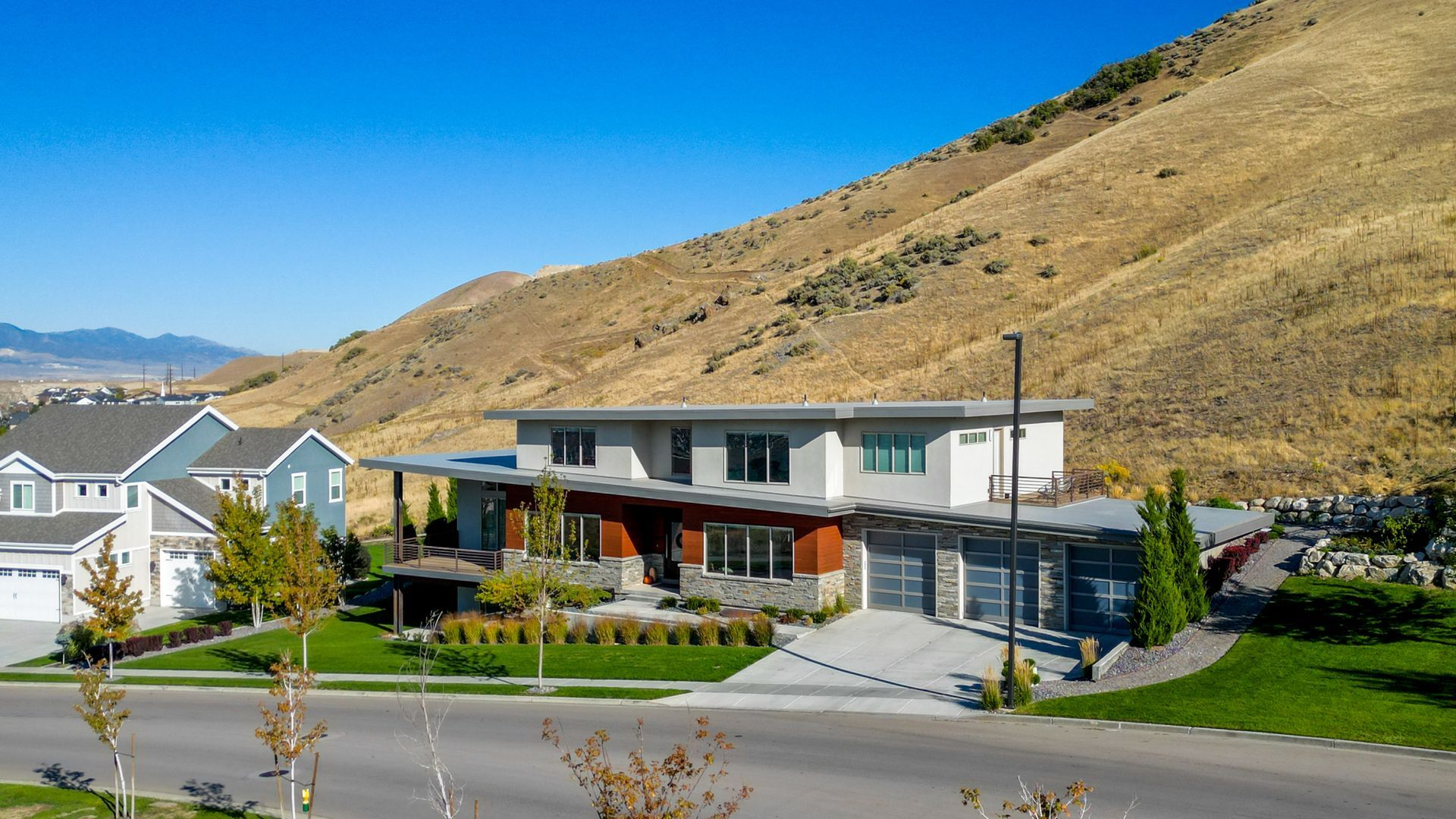
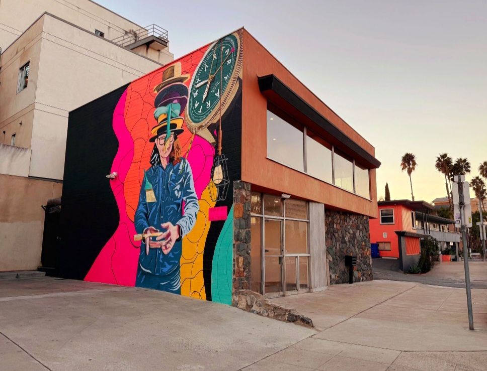
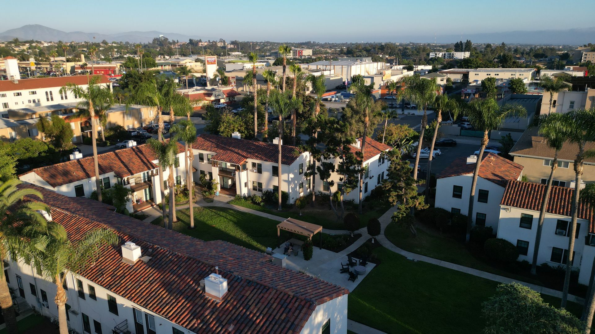
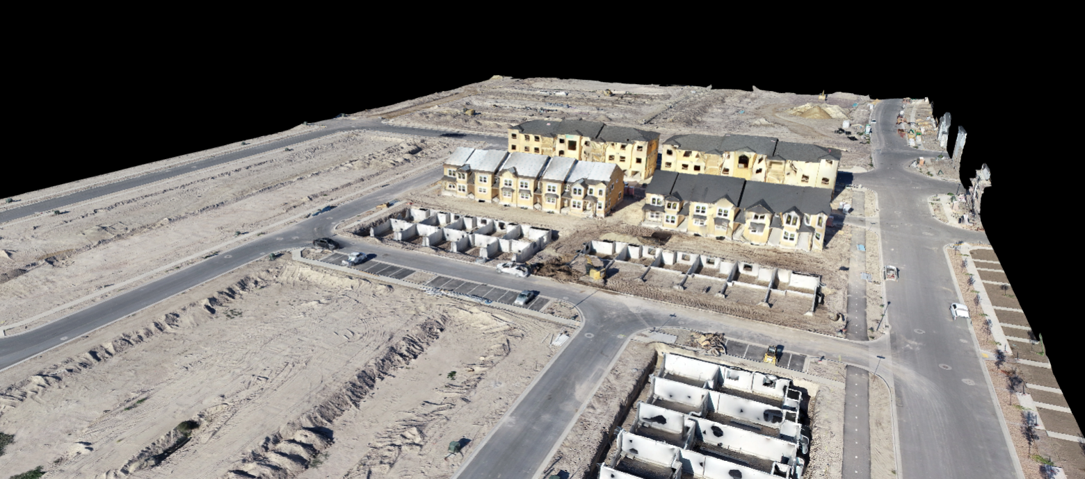
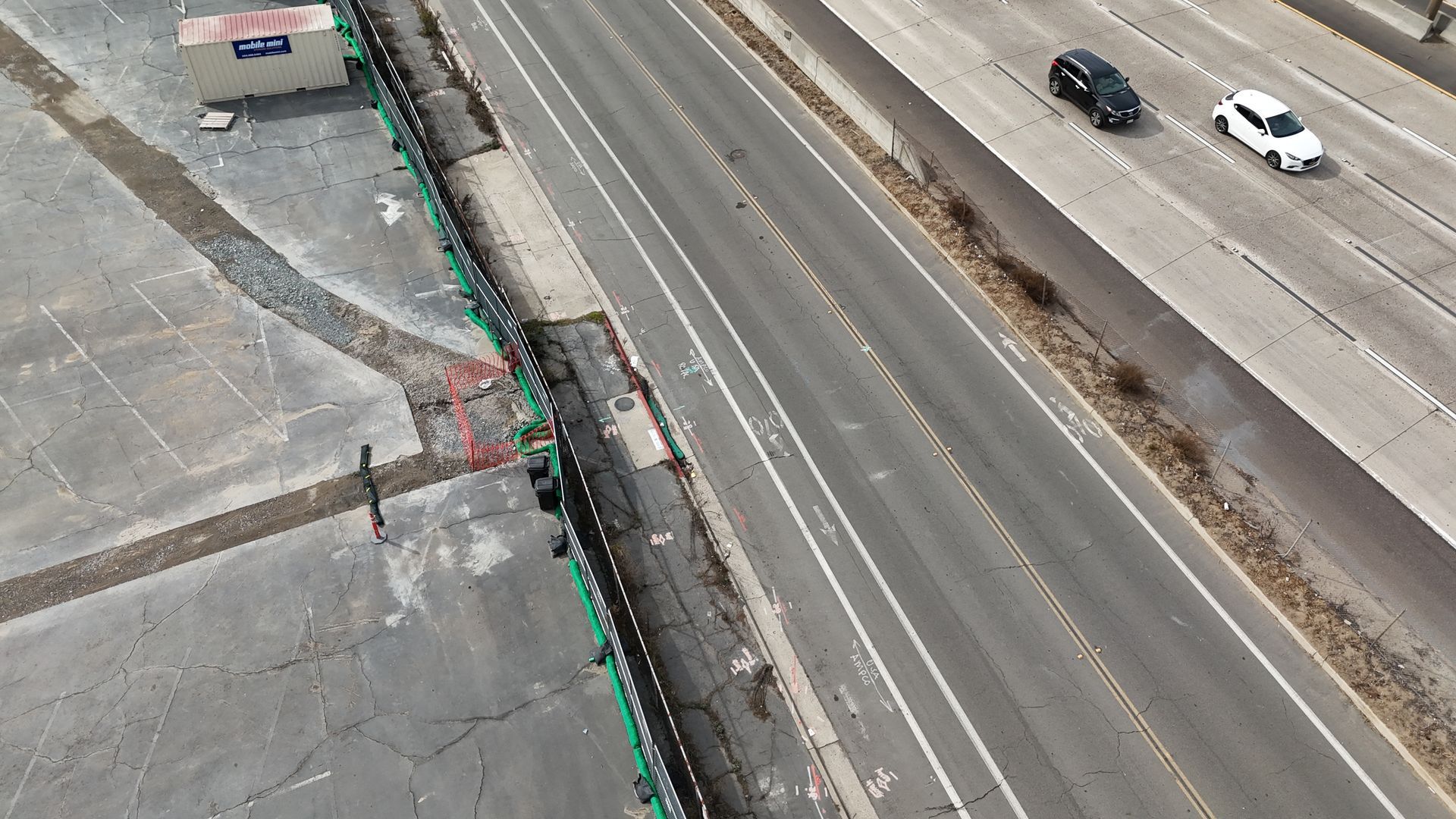
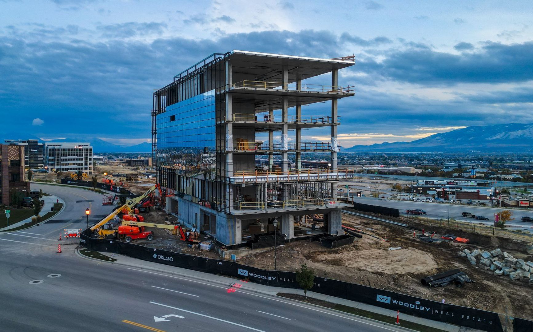
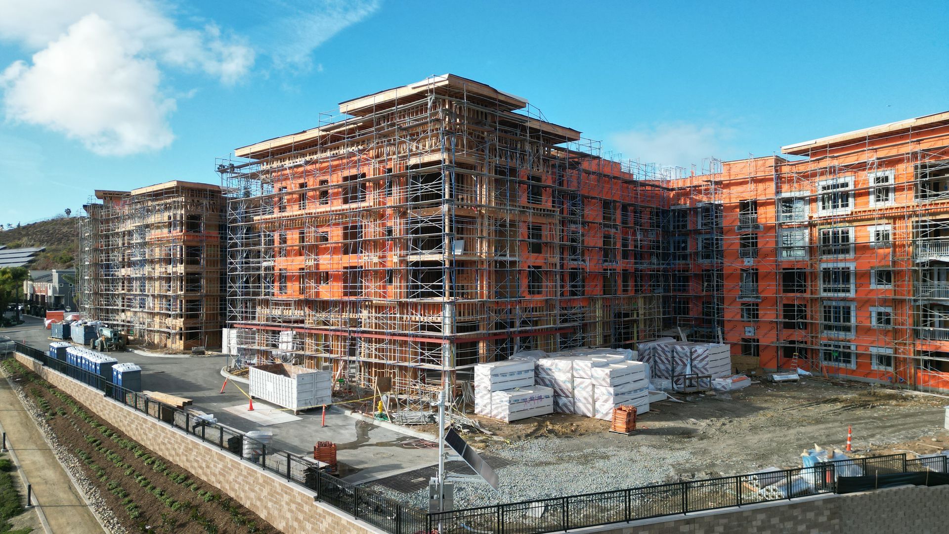
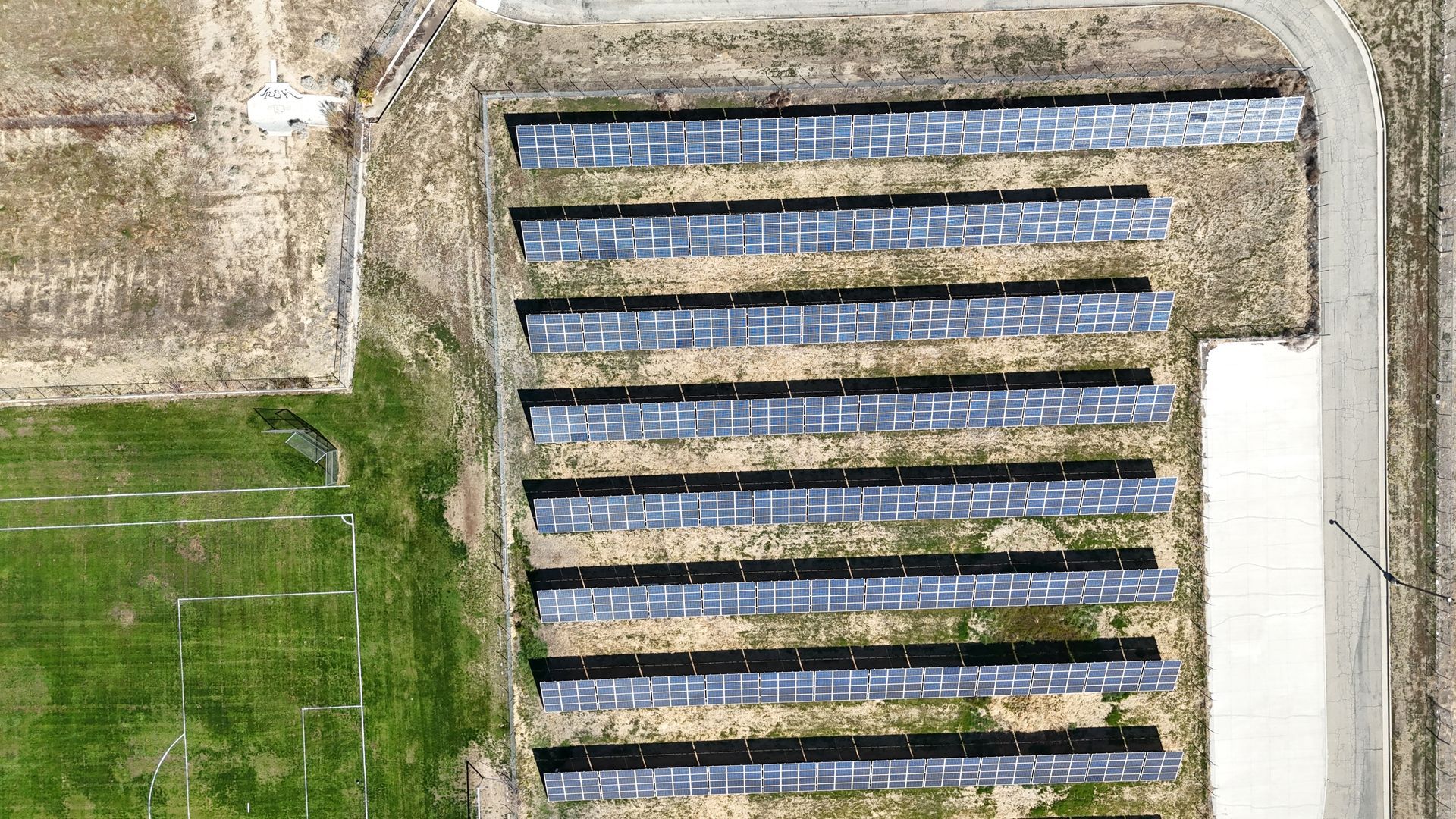
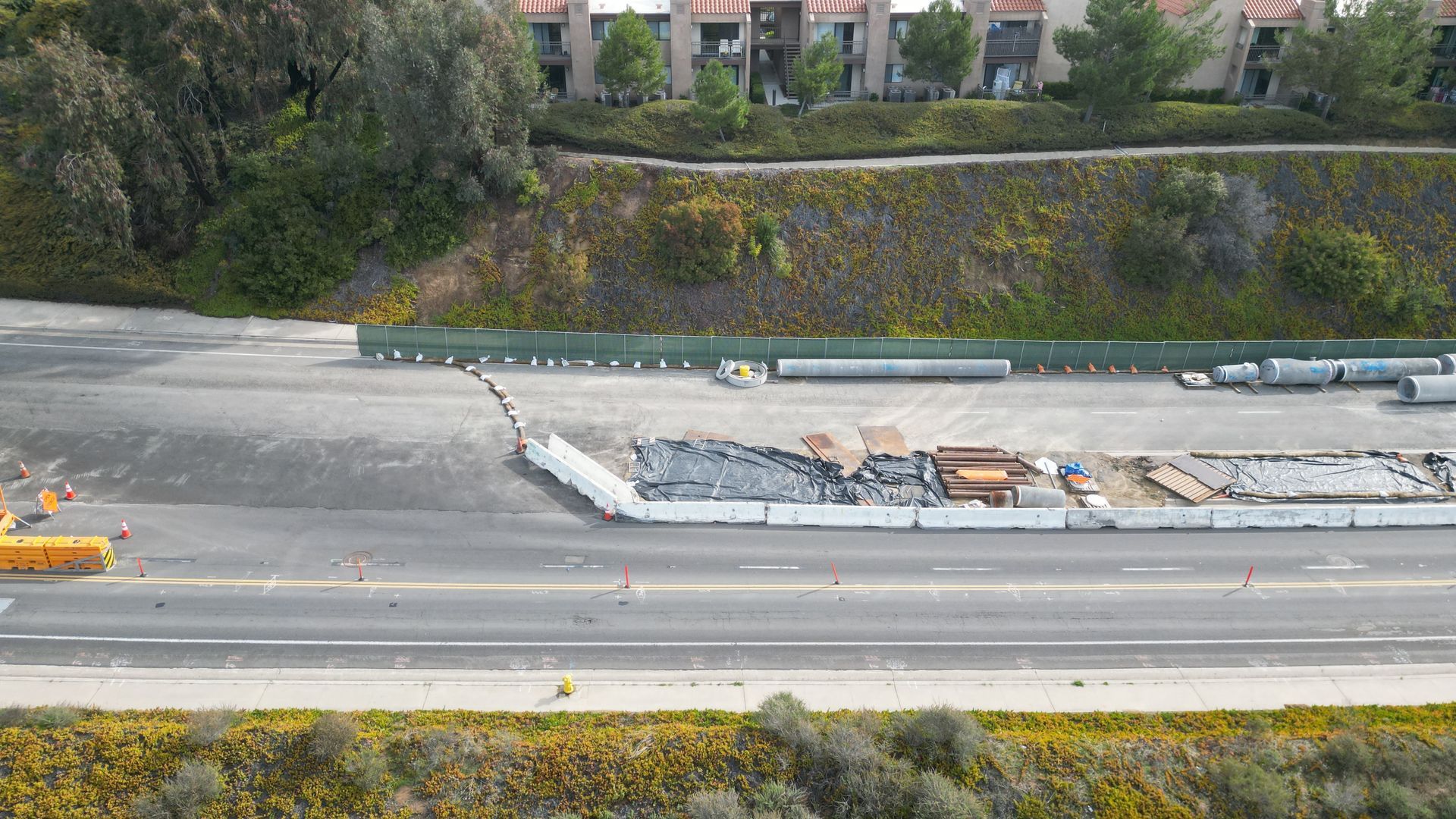
Gallery
Gallery
LET'S CREATE!
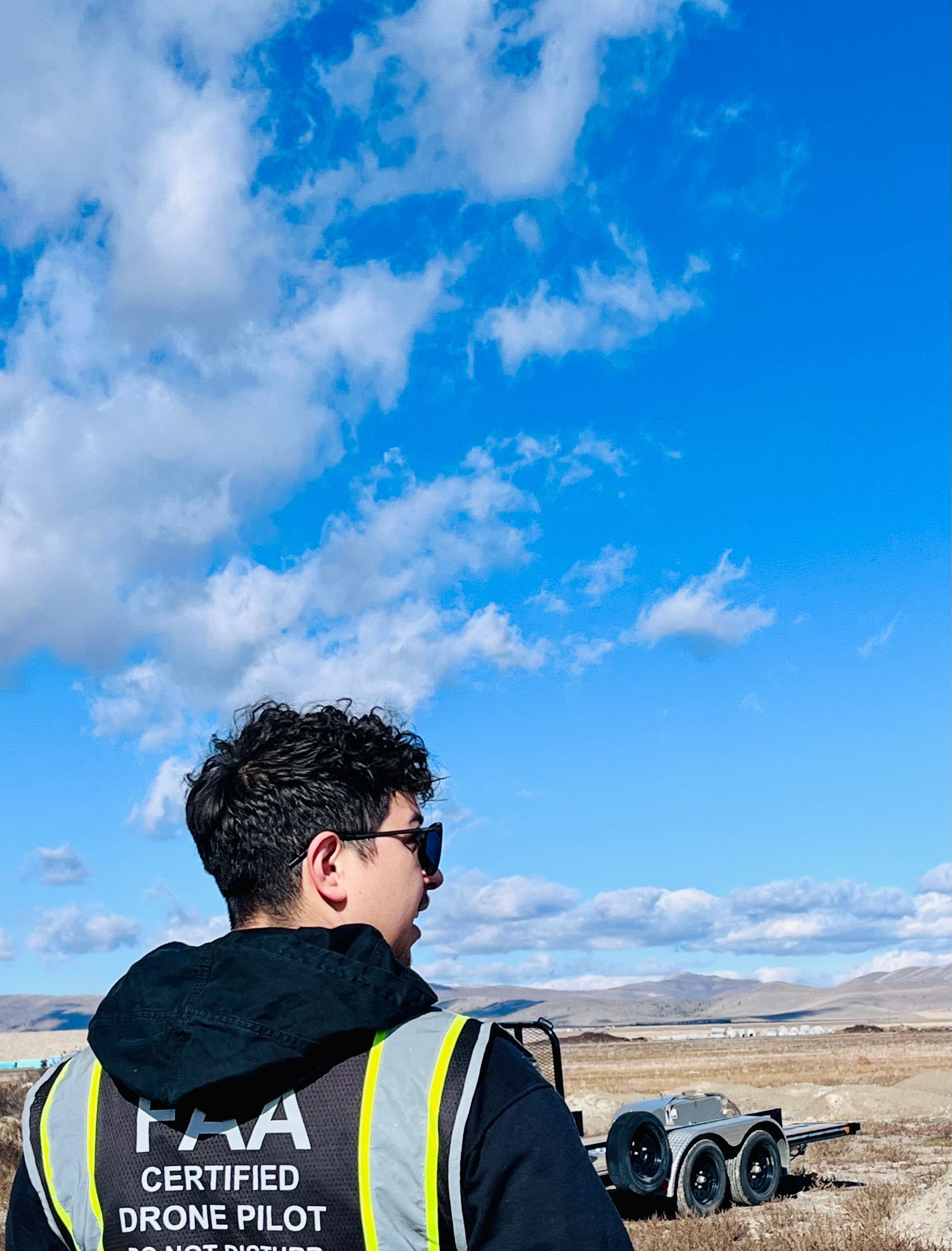
Clear for Take Off
Clear for Take Off
Our team of skilled Videographers combines technical expertise with artistic flair to deliver captivating visuals that leave a lasting impression.
Certified
Your Assurance of Quality and Expertise
Proper Insurance and Preflight
Covered and Confident in Every Venture.
Airspace clearance
Flying High with Integrity and Responsibility.


View more


LET'S CREATE!
Have a question? We are here to help. Send us a message and we’ll be in touch.